Morocco Weather Flip September 14, 2026: Heat Wave Breaks, Temperatures Drop Up to 15 C This Week
If the first half of September felt like an extension of August, that ends now. From Monday September 14, 2026, the heat wave that pushed Morocco to record September temperatures gives way to a pronounced cool-down: Agadir plunges from 38 C on Sunday to 23 C by Thursday - a drop of roughly 15 C in four days - while Marrakech falls from 41 C to 31 C and even the south-east eases back toward seasonal values. The Direction Generale de la Meteorologie (DGM) confirms the heat wave is easing gradually toward seasonal averages, closing a chapter that began with the record-smashing days we covered in our August 3 national forecast and the August 4 orange alert.
From records to relief: how the week starts
The contrast is stark. Early September 2026 delivered some of the hottest September readings ever recorded in the kingdom: on September 3, Sidi Slimane reached 47.1 C, Kenitra 45.1 C and Sale 44.3 C - all provincial September records - while the DGM's "Weather Overview for Early September 2026" explained the unusual pairing of extreme heat with violent thunderstorms and hail over the Atlas. Through Sunday September 13, the south-easterly Chergui flow kept interior cities baking: Marrakech hit 41 C and even the usually mild Agadir coast spiked to 38 C under a hot, dry desert air mass.
From Monday, the wind turns. A north-westerly Atlantic flow establishes itself over the country, the Saharan thermal low retreats south, and temperatures step down day after day through Thursday - roughly 2 to 4 C per day, without a shock cold snap, but cumulatively one of the sharpest week-long cool-downs of the year.
The numbers: city by city
Forecast daily maximum temperatures for the transition week:
| City | Sun Sep 13 | Mon Sep 14 | Tue Sep 15 | Wed Sep 16 | Thu Sep 17 | Week's drop |
|---|---|---|---|---|---|---|
| Agadir | 38 C | 32 C | 28 C | 25 C | 23 C | -15 C |
| Rabat | 35 C | 29 C | 25 C | 25 C | 24 C | -10 C |
| Marrakech | 41 C | 39 C | 37 C | 35 C | 31 C | -10 C |
| Fes | 39 C | 39 C | 36 C | 33 C | 31 C | -8 C |
| Casablanca | 31 C | 28 C | 26 C | 25 C | 25 C | -6 C |
| Errachidia | 36 C | 37 C | 33 C | 32 C | 30 C | -6 C |
| Ifrane | 31 C | 30 C | 28 C | 25 C | 25 C | -6 C |
| Tangier | 30 C | 30 C | 30 C | 27 C | 26 C | -4 C |
Three patterns stand out:
- The coast cools first and hardest. Agadir's 15 C drop is the headline: the town that hit 38 C under a Saharan air mass on Sunday returns to a 23 C oceanic norm by Thursday as the wind swings from south-easterly to westerly. Casablanca and Rabat follow the same marine-air logic, with Rabat shedding 10 C by Tuesday. Our Atlantic coast vs inland comparison explains why coastal cities swing so violently between these two regimes.
- The interior steps down more slowly. Marrakech and Fes keep near-39 C readings on Monday before the north-westerlies penetrate past the Atlas; the relief arrives mid-week and is unmistakable by Thursday.
- The nights change faster than the days. Ifrane's daytime highs ease by about 6 C, but its minimums fall from 16 C to 11 C - Middle Atlas nights are already autumnal, as we detail in our Atlas mountains weather guide.
Live weather: three cities that tell the story
To follow the flip in real time, here is the live weather and three-day outlook for the three cities that best capture this week's contrast:
The coast: Agadir
Agadir is the most dramatic case of the week: from a 38 C Chergui-type spike on Sunday back to a fresh 23 C by Thursday, with a westerly sea breeze re-establishing itself from Tuesday.
The interior: Marrakech
The Ochre City stays hot through Monday-Tuesday (37-39 C), then drops toward 31 C by Thursday - its first genuinely comfortable evenings since June.
The mountains: Ifrane
Ifrane and the Middle Atlas lead the seasonal transition: afternoons near 25 C from Wednesday and nights around 11 C - jacket weather, with a residual storm risk early in the week.
Why the pattern flips
The DGM's early-September overview described the month as a transition period in which summer influences - the Saharan thermal low, the Chergui, tropical humidity aloft - interact with the first incursions of cooler air at higher altitudes. That is exactly what happens this week:
- The Saharan thermal low retreats south, ending the broad south-to-south-easterly flow that carried desert heat over the interior.
- A north-westerly Atlantic flow takes over, feeding cool marine air into the coastal plains and, progressively, over the Atlas into the interior.
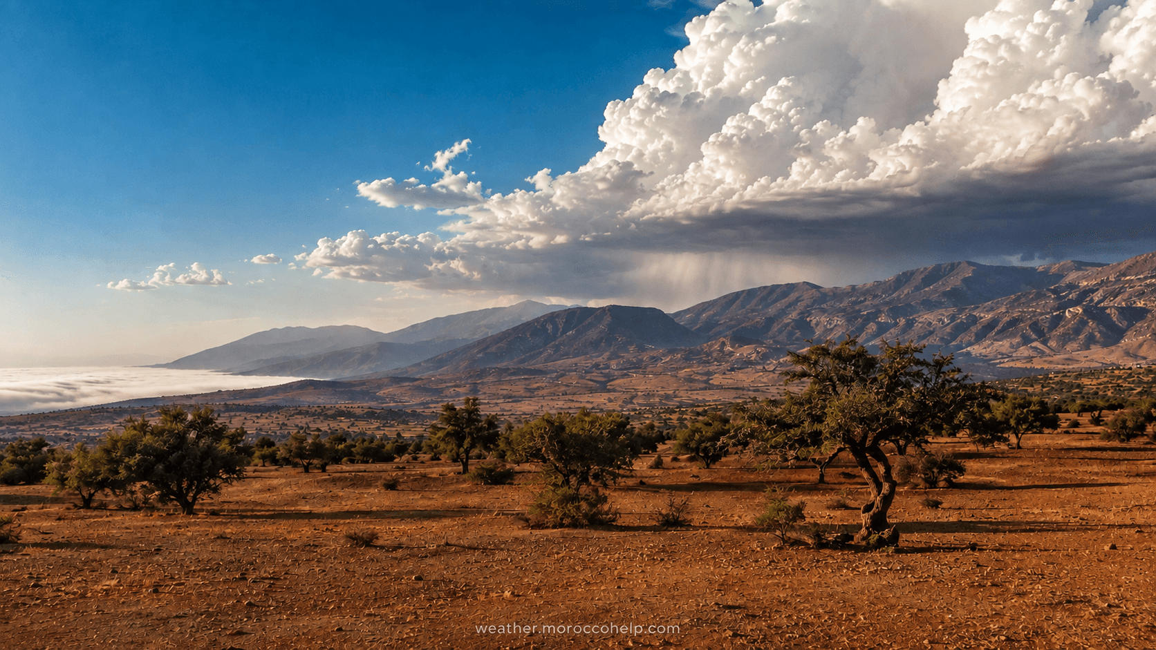
- Cold pockets persist in the upper atmosphere early in the week: sitting over still-warm ground, they keep the atmosphere unstable - the classic recipe for the afternoon and evening thunderstorms, hail and sudden gusts the DGM has flagged over the High and Middle Atlas.
The change is part of a much larger pattern flip affecting the whole Mediterranean basin and Europe this week, where forecasters tracked temperature drops of 15 to 20 C within 24 hours in places - the same air-mass boundary reaching the Maghreb in a softer, more gradual form.
Early-week storm watch: unstable upper-level air over the still-hot ground keeps a thunderstorm and hail risk over the High Atlas, Middle Atlas and neighbouring plains through Tuesday-Wednesday. Gusts under storms can be violent - up to 58 km/h around Marrakech on Tuesday - and locally heavy rain can trigger flash flooding in normally dry wadis. Avoid river crossings and exposed ridges during afternoon storms, and see our flash flood safety guide.
What this means for you
Pack for two seasons. Days stay pleasantly warm (24-31 C) but evenings and nights turn genuinely cool, especially inland and in the mountains: 11-14 C in Ifrane, around 17-19 C in Marrakech by the end of the week. A light jacket or fleece for the evening is no longer optional - our Morocco packing guide covers exactly this shoulder-season scenario.
- Travellers: this is the sweet spot arriving - warm sunny days without the extreme heat, ideal for cities and hiking. Keep flexible plans for the Atlas on Tuesday-Wednesday (storms), and expect windy conditions on the Strait (Tangier gusts to 60 km/h early in the week).
- Farmers: the storm moisture is double-edged - welcome rain for early sowings, but hail and gusts can damage late summer crops; the contrast-filled start of September was flagged by Moroccan agricultural media for exactly this reason.
- Everyone else: the UV index stays high (6-8) even as temperatures fall, so sun protection remains essential - see our UV index guide.
Autumn is knocking
A week like this is the textbook opening of Morocco's autumn transition - the slow retreat of the Saharan heat and the return of the first Atlantic disturbances. By late September, the first real rain episodes typically reach the north and the Rif, as explained in our guides on when autumn starts in Morocco and the rainy season. For the full background on the heat episodes that preceded this flip, our Morocco heatwaves dossier has the history and the trend.
The message of the week: summer's last stand is over, and it ends not with a single cold snap but with a steady, region-by-region retreat - Agadir first, the mountains by night, the interior by Thursday.
Track the live situation in your city with our full forecasts for Agadir, Marrakech and Ifrane, and read when autumn starts in Morocco for what comes next.