Morocco Weather August 3, 2026: Extreme Heat in the South, Mountain Storms and Coastal Fog
Monday, August 3, 2026 captures the Moroccan summer at its most divided. While the southern and Saharan provinces bake under an intense heat episode that is only just beginning, the Atlantic coast wakes under a blanket of morning fog, and the High Atlas brews scattered afternoon thunderstorms. According to the national bulletin from the Direction Generale de la Meteorologie (DGM), the day sets the stage for a heatwave that will peak later in the week - so understanding Monday's pattern is the best way to prepare for what comes next.
For the broader August outlook, see our August 2026 heatwave guide, and for the orange alert that follows this day, our August 4 heatwave alert analysis.
The big picture: a country in three weather regimes
The DGM describes August 3 as a hot day across almost the entire kingdom, but "hot" means very different things depending on where you stand. Three distinct regimes were in play on Monday:
- Extreme heat in the south and south-east - the Moulouya valley, the Tadla and Rehamna plains, Chiadma, the Souss, the south-east and the Saharan provinces all stayed under a hot air mass.
- Scattered storms over the reliefs - unstable clouds brought localized showers and thunderstorms over the High Atlas, its eastern slopes, the south of the Oriental, and the north-east of the Saharan provinces.
- Coastal gloom on the Atlantic - morning low cloud, fog patches and even light drizzle lingered near the Atlantic coast, briefly reducing visibility at the start of the day.
This three-tier structure - desert heat, mountain storms, oceanic cooling - is classic Moroccan summer, but on August 3 the contrast between the desert and the rest of the country was sharper than usual.
Temperatures: the south leads, the coast breathes
The most striking signal on Monday was the thermal contrast. The DGM reported that maximum temperatures were rising over the Southern provinces and the south-east, while falling or little changed elsewhere - widening the gap between the desert and the coast.
Minimum temperatures (night-time and early-morning lows) broke down as follows:
| Zone | Minimum temperatures |
|---|---|
| Chiadma, Souss, south-east and the north of the Southern provinces | 30 - 36 C |
| Southern Oriental, Moulouya valley, Saiss, interior Gharb, phosphate and Oulmes plateaus, western Atlas plains | 21 - 25 C |
| Atlas reliefs and near the coast | 16 - 21 C |
| Everywhere else | 25 - 30 C |
The figure to watch is the 30-36 C minimum in the south. When night-time temperatures stay this high, the human body cannot cool down and recover - the so-called tropical nights that make southern heatwaves so medically dangerous. Daytime maxima in those same southern regions pushed well into the 40s C, and this was only the opening act: by Tuesday August 4, the heat would intensify further, with Es-Semara forecast to reach around 47 C.
By contrast, the Atlantic coast (Casablanca, Rabat, Essaouira) and the Atlas reliefs (Oukaimeden, Michlifen) remained comparatively comfortable, with morning lows of 16-21 C and the moderating influence of the ocean keeping daytime peaks in check.
Scattered thunderstorms over the Atlas
Not all of Monday's heat was dry. The DGM flagged unstable cloud producing localized showers and thunderstorms over:
- The High Atlas and its eastern slopes
- The south of the Oriental
- The north-east of the Saharan provinces
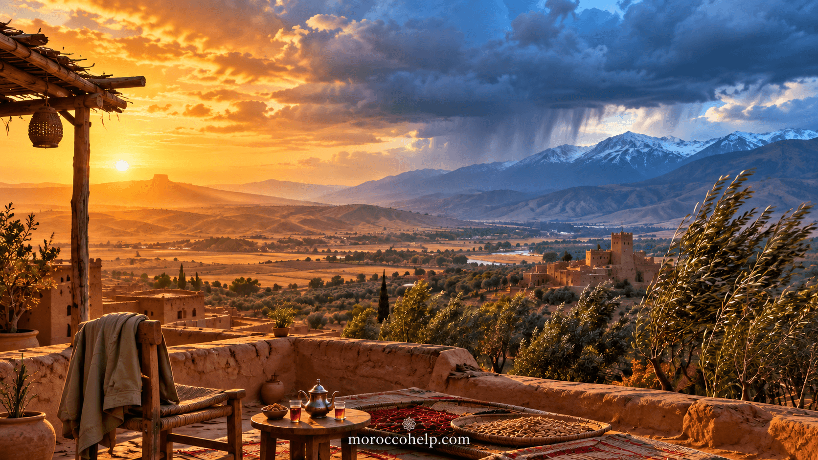
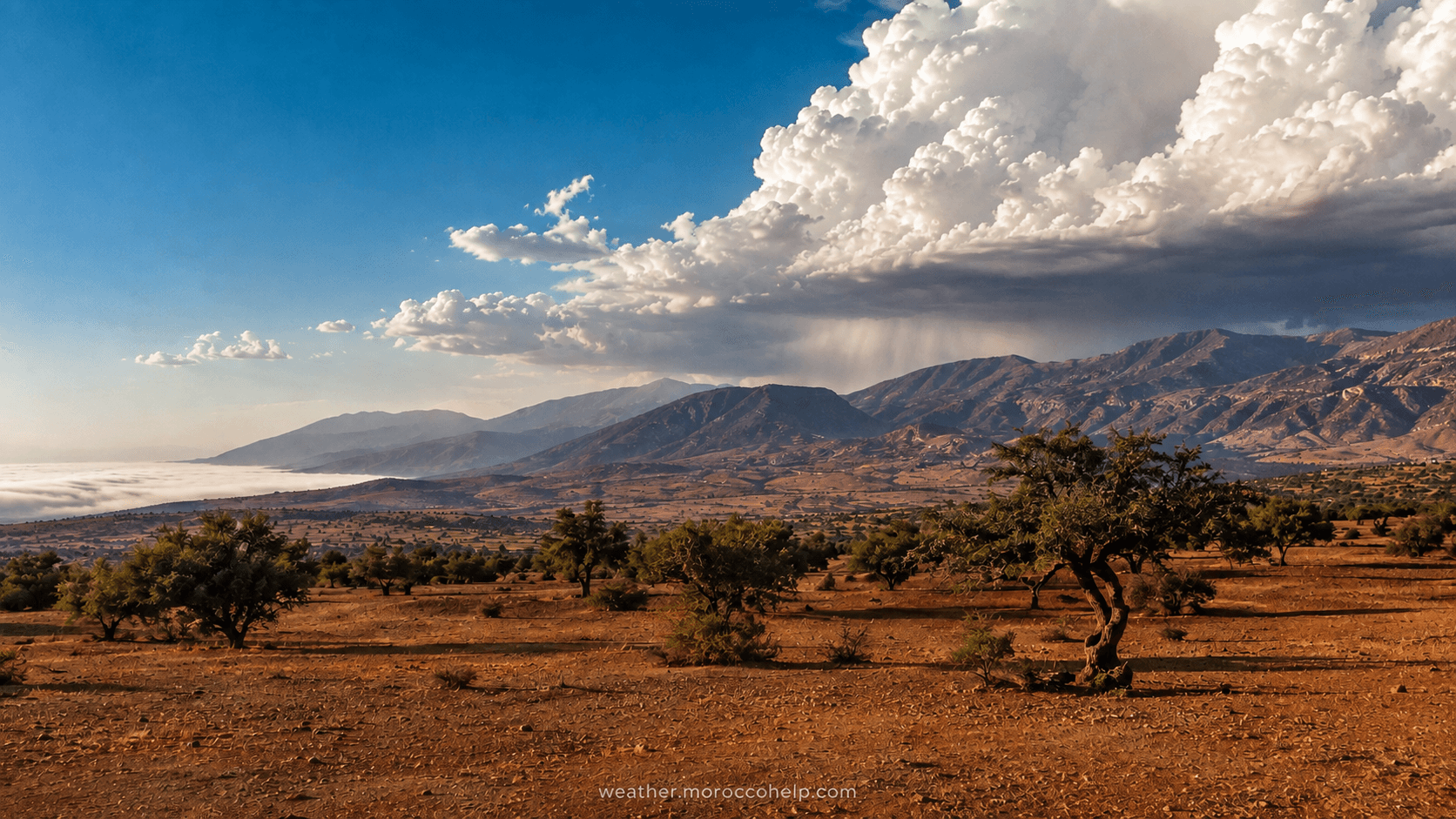
These storms are a frequent summer feature: intense surface heating destabilizes the air over the mountains, and by mid-afternoon towering cumulonimbus build over the peaks. They remain localized but can be briefly intense, occasionally producing heavy downpours or hail. Hikers and drivers in mountain passes should treat any rapidly building cloud with caution - flash flooding in otherwise dry oueds remains a real hazard even during a heat-dominated week.
Morning fog and drizzle on the Atlantic coast
While the interior sweltered, the Atlantic seaboard woke under low cloud, fog patches and local drizzle - the familiar summer "garua" that the cold Canary Current imposes on Morocco's west coast. On August 3 these conditions persisted into the morning and could temporarily reduce visibility, especially early in the day.
This is the same mechanism that keeps Casablanca, El Jadida and Essaouira noticeably cooler than Marrakech or Fes during summer, and it is the reason the coast is the country's natural heat refuge. The fog typically burns back toward the ocean by early afternoon, giving way to sunshine and a refreshing sea-breeze.
Winds and dust
Moderate to locally fairly strong gusts blew over the central plains and coasts, the Atlas, the Oriental, the south-east and the Saharan provinces. Over the desert and semi-arid zones, these winds raised local dust - reducing air quality and, at times, visibility. Travellers in the deep south and the south-east should be prepared for blowing dust on the roads, and anyone with respiratory conditions should limit outdoor exertion when dust is in the air. For more on this, see our air quality guide.
Sea state
Conditions remained broadly favourable for coastal navigation:
- Mediterranean and Strait of Gibraltar: calm to slightly agitated
- Atlantic north of Safi: slightly agitated
- Atlantic elsewhere (south of Safi): slightly agitated to agitated
No exceptional sea-state warnings were in effect, but the DGM advises smaller craft in the southern Atlantic sector to check updated inshore forecasts.
What this means for the rest of the week
August 3 was the setup day. The hot air mass over the south was intensifying, and the DGM's subsequent bulletins confirmed that the heat would spread and deepen: by Tuesday August 4 through Thursday August 6, an orange-level heatwave alert placed dozens of provinces under temperatures of 44-47 C, with strong winds and local sandstorms in the far south. If you found Monday hot in Marrakech or Fes, the worst was still ahead - the full alert breakdown is in our August 4 heatwave article.
Practical advice for August 3 conditions
- In the south and interior: avoid outdoor activity between 11:00 and 17:00, drink water steadily (not only when thirsty), and never leave children or animals in a parked vehicle.
- On the coast: expect foggy mornings - plan drives for after the fog lifts, and take advantage of the milder daytime peaks.
- In the Atlas: watch the sky in the afternoon; descends from exposed ridges before storms build, and avoid camping in dry riverbeds.
- On desert roads: be ready for sudden dust and reduced visibility; slow down and switch on headlights if blowing dust occurs.
Sources
- Direction Generale de la Meteorologie (DGM), national bulletin for Monday 3 August 2026.
- La Verite, "Previsions meteorologiques pour le lundi 3 aout 2026" (3 August 2026).
- Medi1News, "Meteo du lundi 3 aout: chaleur persistante et orages..."
- Le360, "Un temps tres chaud sur l'ensemble du Royaume ce lundi 3 aout."
Looking ahead? Track the developing heatwave in our August 4 DGM orange alert breakdown and the full-month August 2026 heatwave guide.