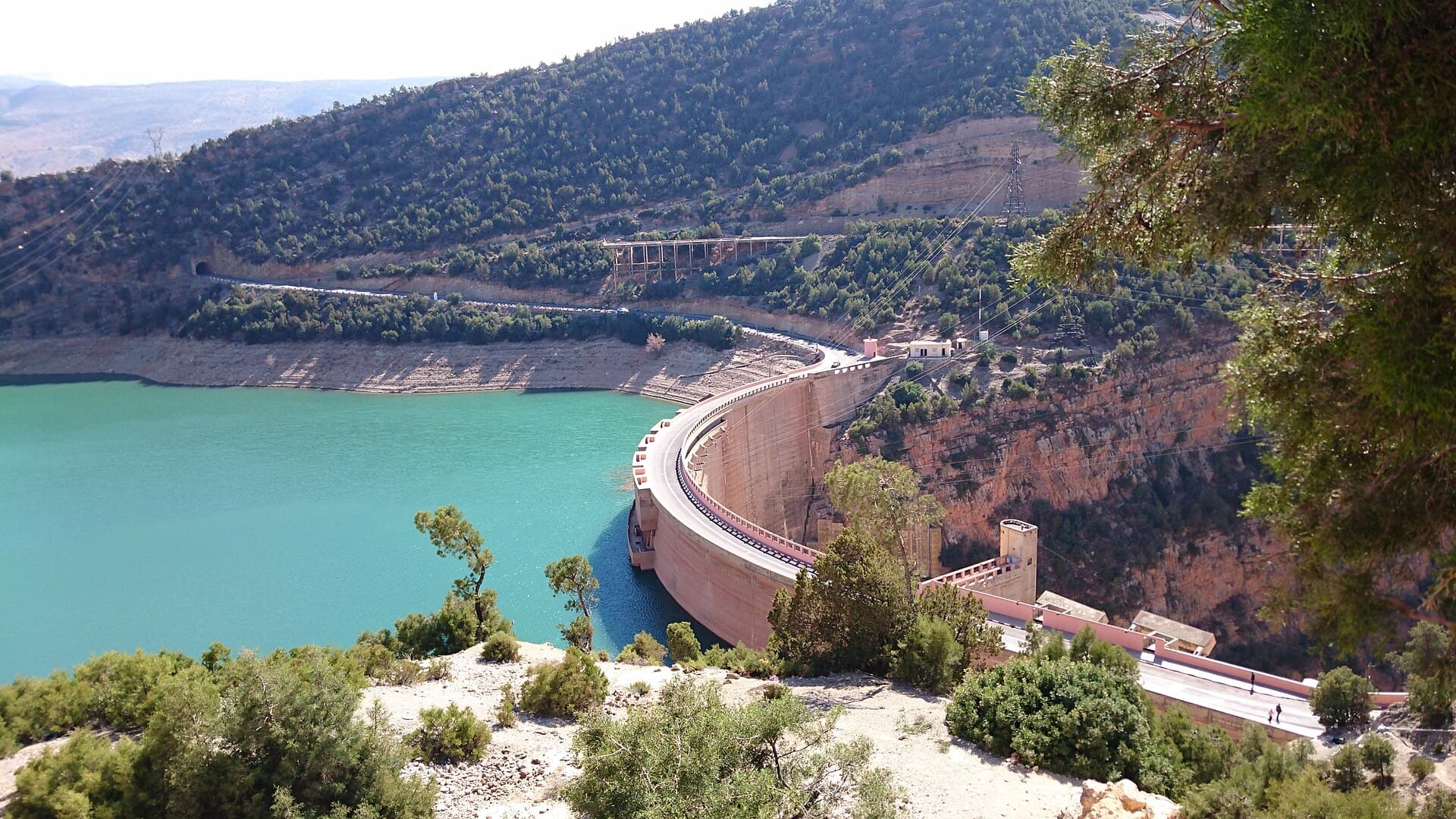
Ait Messaoud
Ait Messaoud Dam is a compensation dam associated with Ahmed El Hansali Dam. Located 8 km upstream of Kasbat Tadla on the Oum Er-Rbia, it regulates downstream flows for irrigation of the Tadla plain.
34 m
Height
14.3
Capacity (Mm³)
51%
Fill Rate
2002
Built In
About This Dam
Ait Messaoud Dam is a compensation dam associated with Ahmed El Hansali Dam. Located 8 km upstream of Kasbat Tadla on the Oum Er-Rbia, it regulates downstream flows for irrigation of the Tadla plain.
Key Specifications
- Location: Béni Mellal-Khénifra · Nearest City: Kasba Tadla
- River: Oum Er-Rbia · Basin: Oum Er-Rbia
- Type: Concrete Gravity Dam · Height: 34 m
- Capacity: 14.3 Mm³ · Built In: 2002
- Builder: SGTM
- Coordinates: 32.5500°N, 6.4000°W
Purpose
Irrigation
Provides water for agricultural irrigation
Frequently Asked Questions
What is the capacity of Ait Messaoud Dam?
Ait Messaoud Dam has a total storage capacity of 14.3 million cubic meters (Mm³) and a height of 34 meters. It ranks among Morocco's strategic reservoirs and plays a key role in regional water security.
Where is Ait Messaoud Dam located?
Ait Messaoud Dam is located in the oum-er-rbia river basin in Morocco. It is part of the national network of large dams managed by Morocco's hydraulic authorities.
When was Ait Messaoud Dam built?
Ait Messaoud Dam was commissioned in 2002. It forms part of Morocco's ongoing national dam-building program, which has expanded significantly since the 1960s.
What is the current water level at Ait Messaoud Dam?
As of the latest update, Ait Messaoud Dam holds 7.3 Mm³ out of a total capacity of 14.3 Mm³, representing a fill rate of 51%. Levels are updated regularly to track seasonal rainfall and water releases.
What is Ait Messaoud Dam used for?
Ait Messaoud Dam serves several purposes: supplying drinking water to nearby cities, irrigating agricultural land, regulating floods to protect downstream areas, and supporting regional water management.
Which river feeds Ait Messaoud Dam?
Ait Messaoud Dam is built on the Oum Er-Rbia River. The dam captures the river's flow to store water for drinking, irrigation, and flood control.
Current Level
ModerateCapacity
7
Mm³
Remaining
7.3
Mm³
Fill Rate
51%
Updated · July 2026
Geography
- Region
- Béni Mellal-Khénifra
- Nearest City
- Kasba Tadla· 13 km
- Coordinates
- 32.550, -6.400
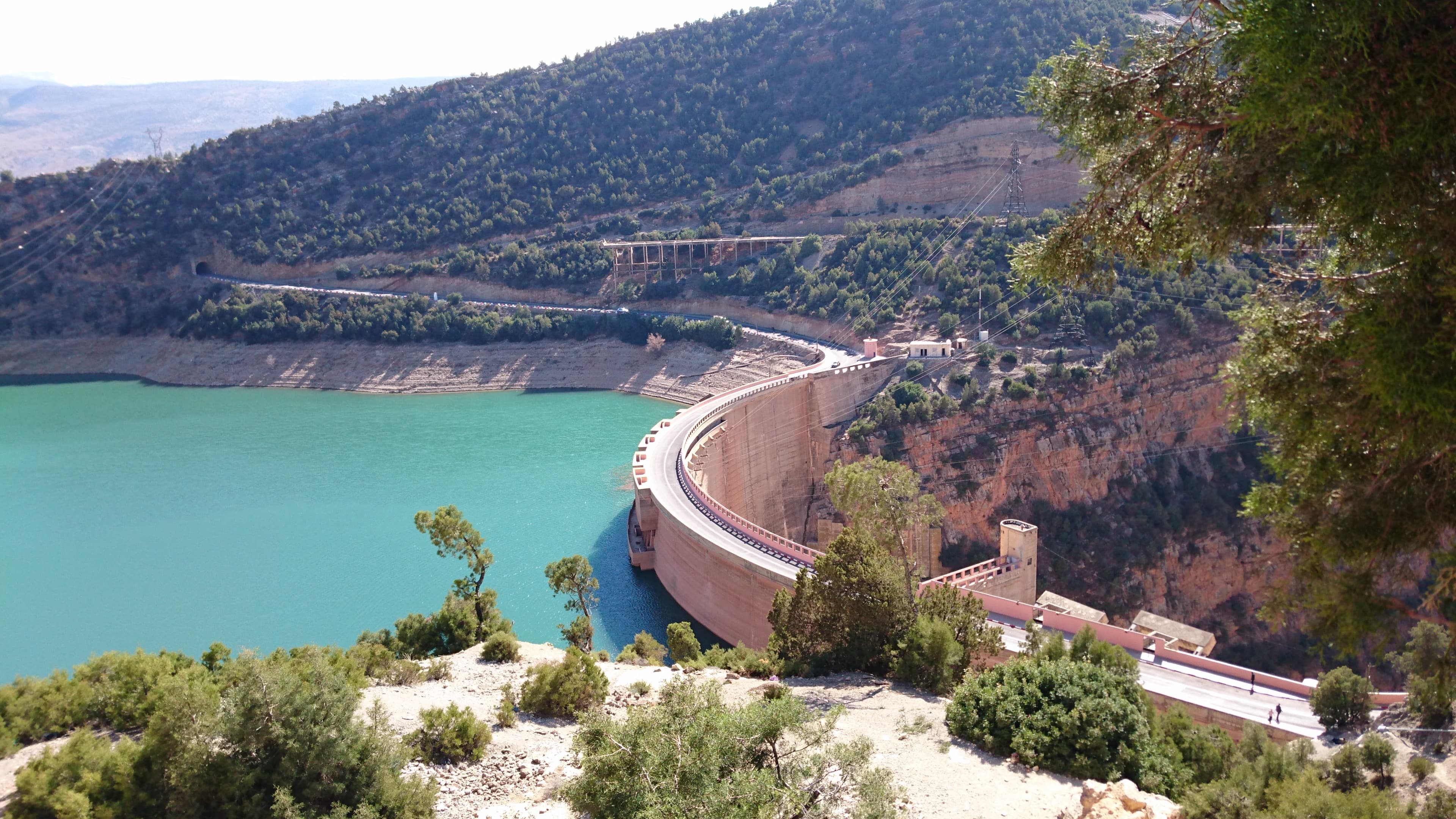
Bin El Ouidane
Tallest dam in Morocco (133 m), an arch engineering masterpiece and major tourist site in the Atlas Mountains.
FullCapacity
1,215.5
Height
133m
Built In
1953
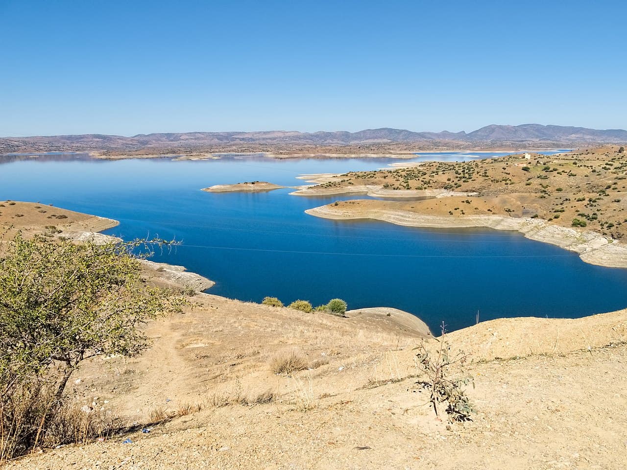
Ahmed El Hansali
Morocco's first concrete-faced rockfill dam, equipped with state-of-the-art monitoring instrumentation.
FullCapacity
668.2
Height
101m
Built In
2001
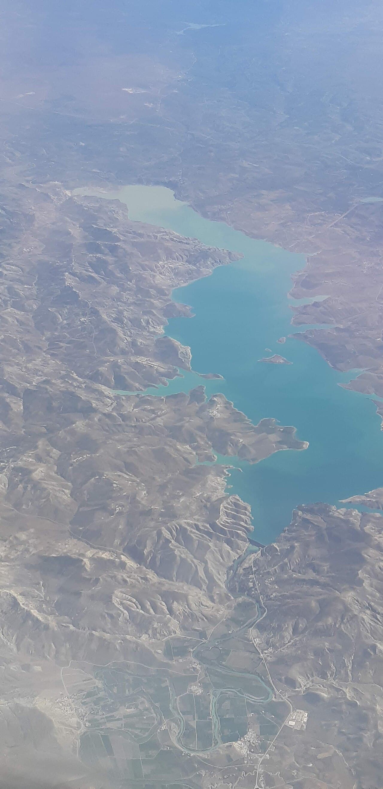
Al Massira
Second largest dam in Morocco, strategic water reserve for Casablanca and a Ramsar wetland site.
ModerateCapacity
2,657
Height
82m
Built In
1979