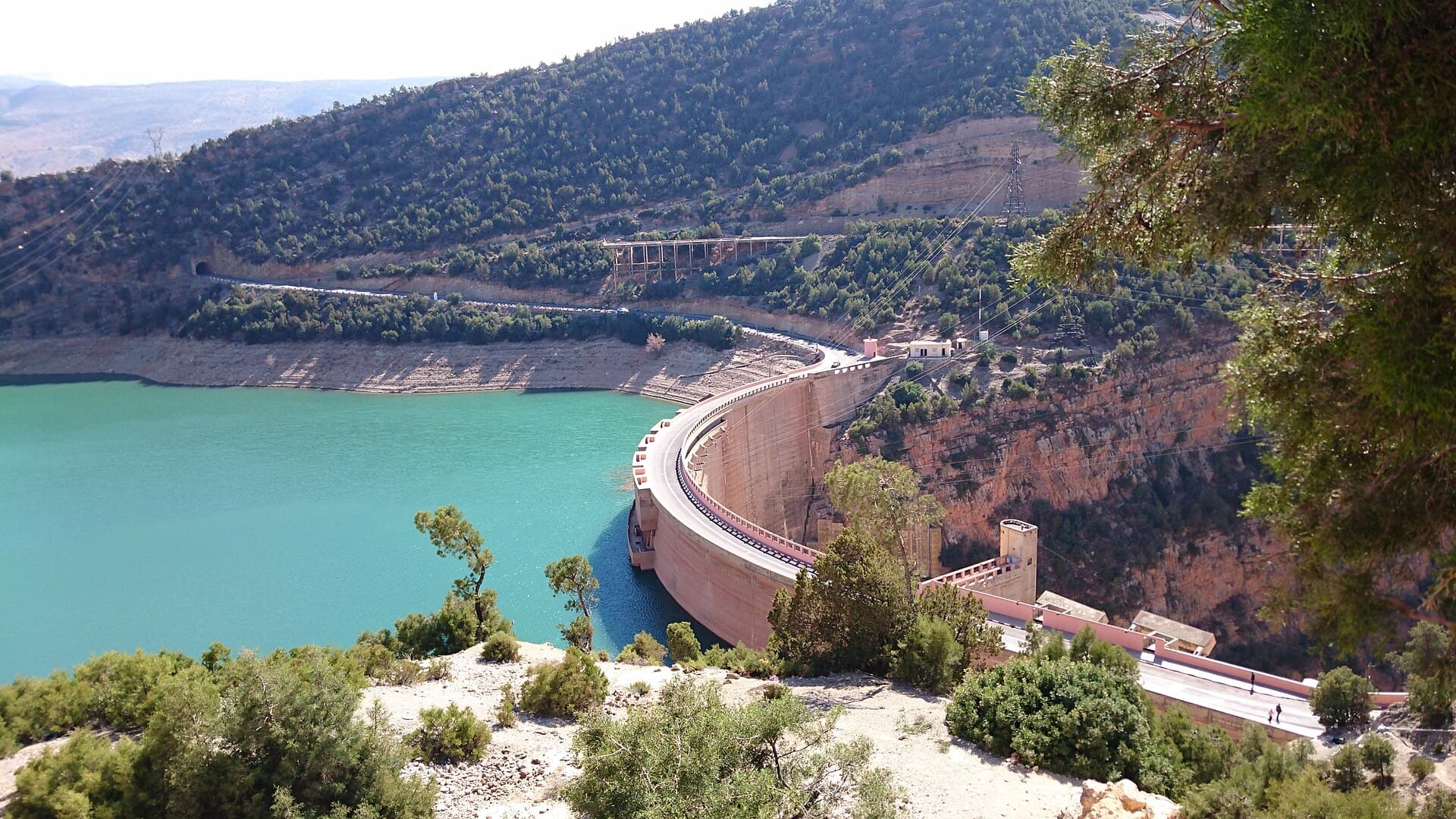
Tamesna
Tamesna Dam is located in Settat Province in the Bouregreg and Chaouia basin. It contributes to agricultural irrigation and water supply for the Casablanca-Settat region.
42 m
Height
56.1
Capacity (Mm³)
85%
Fill Rate
2008
Built In
About This Dam
Tamesna Dam is located in Settat Province in the Bouregreg and Chaouia basin. It contributes to agricultural irrigation and water supply for the Casablanca-Settat region.
Historical Fill Rates
Key Specifications
- Location: Béni Mellal-Khénifra · Nearest City: Khouribga
- River: Tamesna · Basin: Bouregreg
- Type: Earthfill Dam · Height: 42 m
- Capacity: 56.1 Mm³ · Built In: 2008
- Builder: SGTM
- Coordinates: 33.1830°N, 7.0860°W
Purpose
Irrigation
Provides water for agricultural irrigation
Water Supply
Supplies drinking water to cities
References
Frequently Asked Questions
What is the capacity of Tamesna Dam?
Tamesna Dam has a total storage capacity of 56.1 million cubic meters (Mm³) and a height of 42 meters. It ranks among Morocco's strategic reservoirs and plays a key role in regional water security.
Where is Tamesna Dam located?
Tamesna Dam is located in the bouregreg river basin in Morocco. It is part of the national network of large dams managed by Morocco's hydraulic authorities.
When was Tamesna Dam built?
Tamesna Dam was commissioned in 2008. It forms part of Morocco's ongoing national dam-building program, which has expanded significantly since the 1960s.
What is the current water level at Tamesna Dam?
As of the latest update, Tamesna Dam holds 47.7 Mm³ out of a total capacity of 56.1 Mm³, representing a fill rate of 85%. Levels are updated regularly to track seasonal rainfall and water releases.
What is Tamesna Dam used for?
Tamesna Dam serves several purposes: supplying drinking water to nearby cities, irrigating agricultural land, regulating floods to protect downstream areas, and supporting regional water management.
Which river feeds Tamesna Dam?
Tamesna Dam is built on the Tamesna River. The dam captures the river's flow to store water for drinking, irrigation, and flood control.
Current Level
FullCapacity
48
Mm³
Remaining
8.1
Mm³
Fill Rate
85%
Updated · July 2026
Geography
- Region
- Béni Mellal-Khénifra
- Nearest City
- Khouribga· 38 km
- Coordinates
- 33.183, -7.086
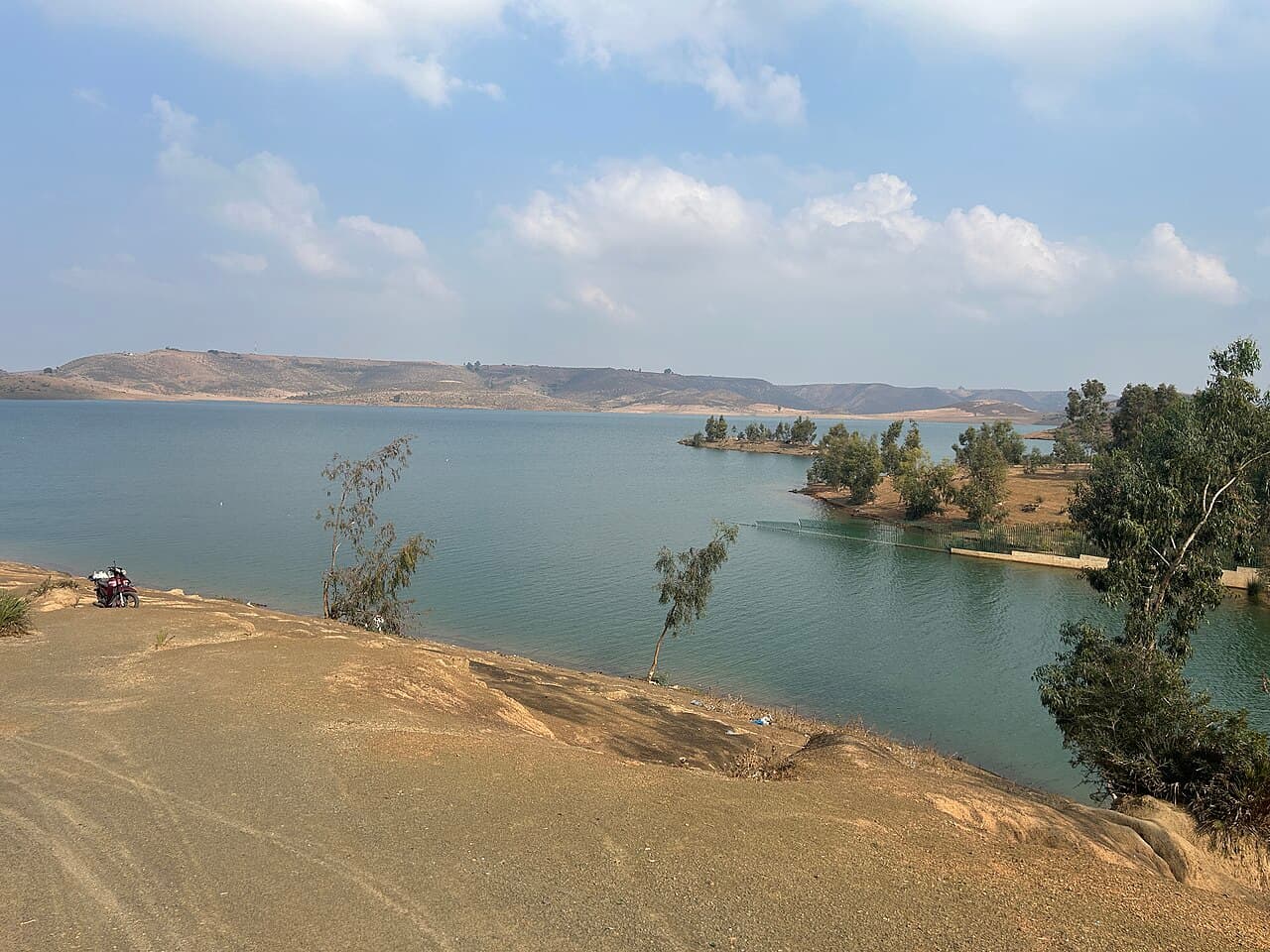
Sidi Mohammed Ben Abdellah
Primary water source for Rabat, connected to the Sebou-Bouregreg Water Highway.
FullCapacity
974.8
Height
99m
Built In
1974
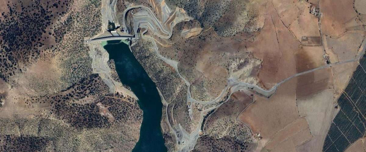
Tiddas
Tiddas Dam is a strategic 106-meter embankment commissioned in 2022 in Khemisset Province on the Bouregreg River. With a capacity of 507 million m³, it secures the drinking water supply for the Kenitra-Rabat-Casablanca corridor, regulates Bouregreg floods, and irrigates 4,627 hectares, complementing Sidi Mohammed Ben Abdellah Dam.
FullCapacity
507
Height
106m
Built In
2022
El Maleh
El Maleh Dam is a historic dam built during the Protectorate era on the Oued El Maleh near Mohammedia. It forms a 250-hectare reservoir and supplies the region with water for irrigation.
GoodCapacity
37.3
Height
18m
Built In
1931