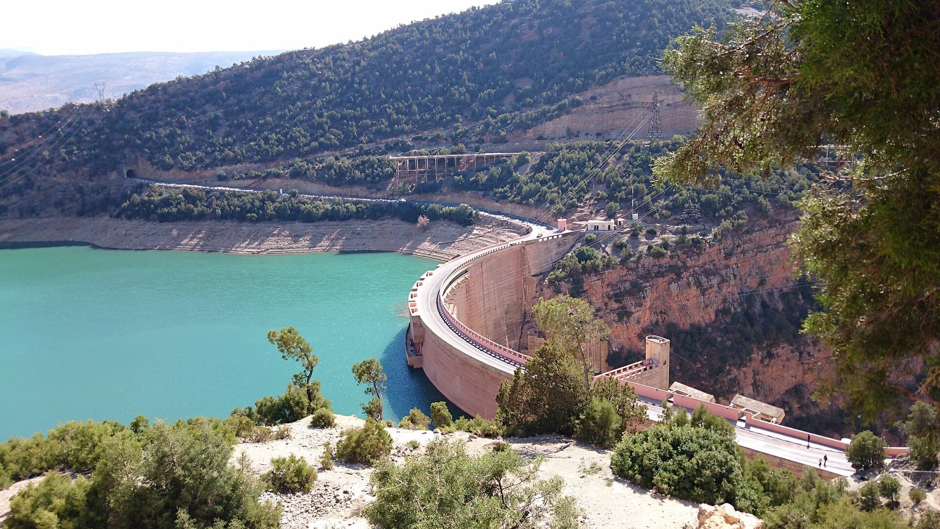
Garde du Sebou
Garde du Sebou Dam is a flood regulation structure on the Sebou River. Its primary function is to attenuate flood peaks to protect downstream areas, particularly the Gharb plain.
28 m
Height
40
Capacity (Mm³)
84%
Fill Rate
1995
Built In
About This Dam
Garde du Sebou Dam is a flood regulation structure on the Sebou River. Its primary function is to attenuate flood peaks to protect downstream areas, particularly the Gharb plain.
Historical Fill Rates
Key Specifications
- Location: Rabat-Salé-Kénitra · Nearest City: Sidi Slimane
- River: Sebou · Basin: Sebou
- Type: Gravity Dam · Height: 28 m
- Capacity: 40 Mm³ · Built In: 1995
- Coordinates: 34.2600°N, 5.9000°W
Purpose
Flood Regulation
Regulates river flow during floods
References
Frequently Asked Questions
What is the capacity of Garde du Sebou Dam?
Garde du Sebou Dam has a total storage capacity of 40 million cubic meters (Mm³) and a height of 28 meters. It ranks among Morocco's strategic reservoirs and plays a key role in regional water security.
Where is Garde du Sebou Dam located?
Garde du Sebou Dam is located in the sebou river basin in Morocco. It is part of the national network of large dams managed by Morocco's hydraulic authorities.
When was Garde du Sebou Dam built?
Garde du Sebou Dam was commissioned in 1995. It forms part of Morocco's ongoing national dam-building program, which has expanded significantly since the 1960s.
What is the current water level at Garde du Sebou Dam?
As of the latest update, Garde du Sebou Dam holds 33.6 Mm³ out of a total capacity of 40 Mm³, representing a fill rate of 84%. Levels are updated regularly to track seasonal rainfall and water releases.
What is Garde du Sebou Dam used for?
Garde du Sebou Dam serves several purposes: supplying drinking water to nearby cities, irrigating agricultural land, regulating floods to protect downstream areas, and supporting regional water management.
Which river feeds Garde du Sebou Dam?
Garde du Sebou Dam is built on the Sebou River. The dam captures the river's flow to store water for drinking, irrigation, and flood control.
Current Level
FullCapacity
34
Mm³
Remaining
6
Mm³
Fill Rate
84%
Updated · July 2026
Geography
- Region
- Rabat-Salé-Kénitra
- Nearest City
- Sidi Slimane· 2 km
- Coordinates
- 34.260, -5.900
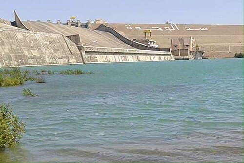
Al Wahda
Largest dam in Morocco and second in Africa, protecting the Sebou basin from floods and irrigating the Gharb plains.
FullCapacity
3,522.3
Height
88m
Built In
1997
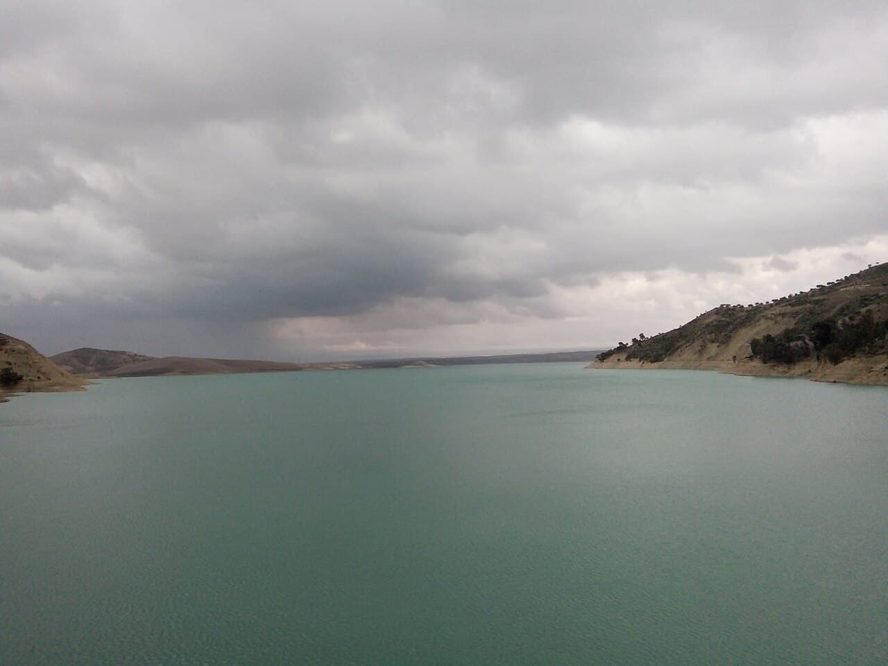
Idriss 1er
One of Morocco's oldest major dams, supplying drinking water to Fez and Meknes and irrigating the Saïss plain.
FullCapacity
1,129.6
Height
72m
Built In
1973
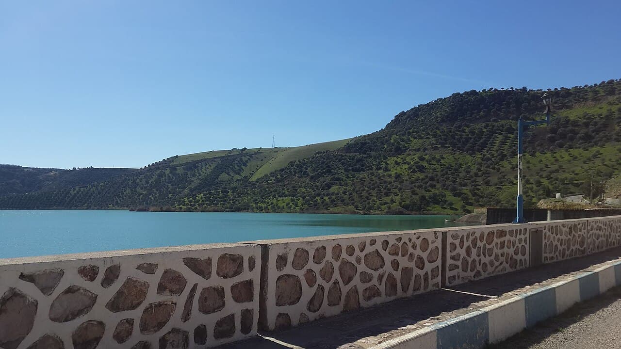
Allal El Fassi
Allal El Fassi Dam is primarily dedicated to hydroelectric production. Located on the Sebou River, it is part of the Sebou basin hydraulic complex and significantly contributes to the country's renewable energy production.
FullCapacity
63.7
Height
62m
Built In
1991